French team standing next to a paleoseismic trench (2021)
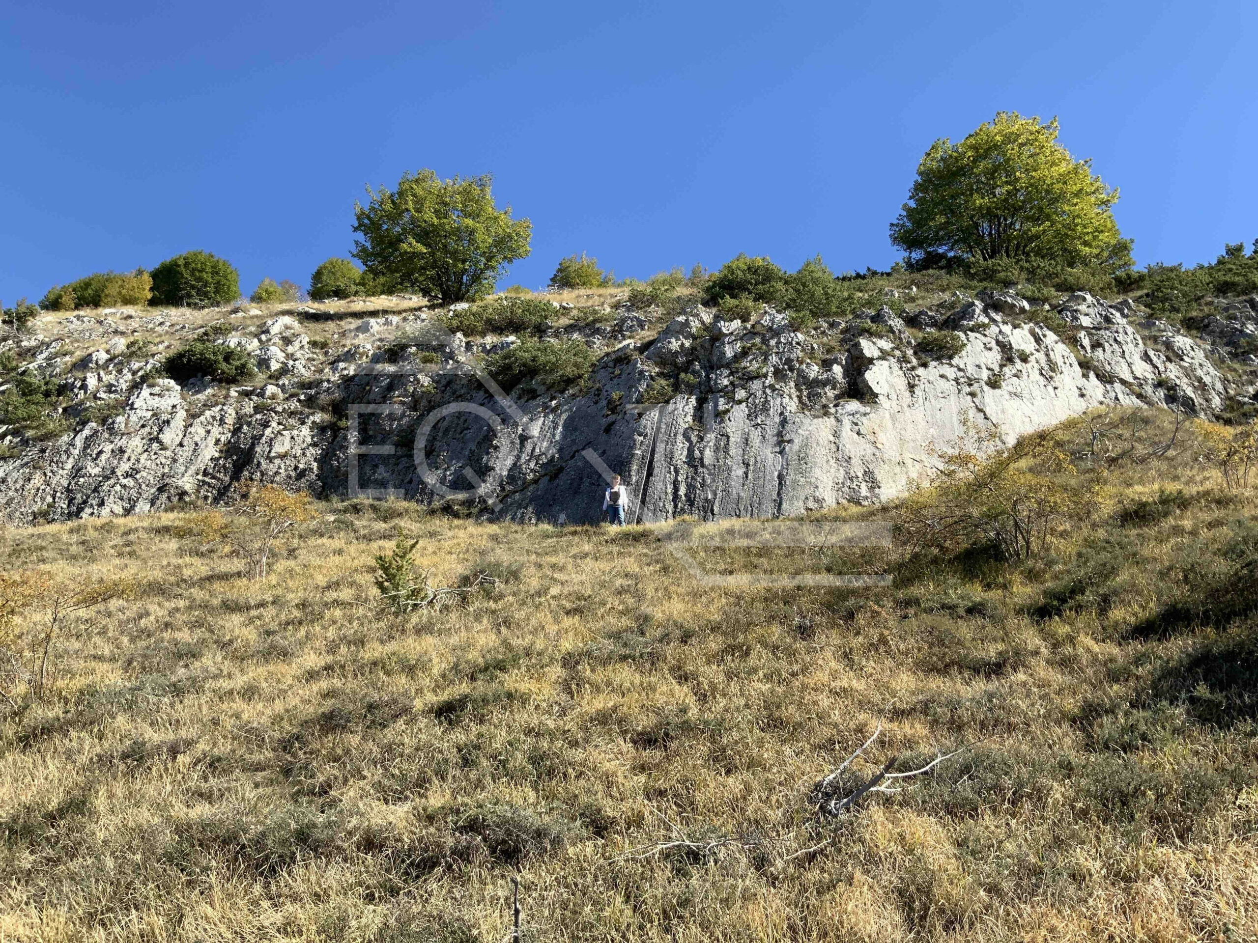
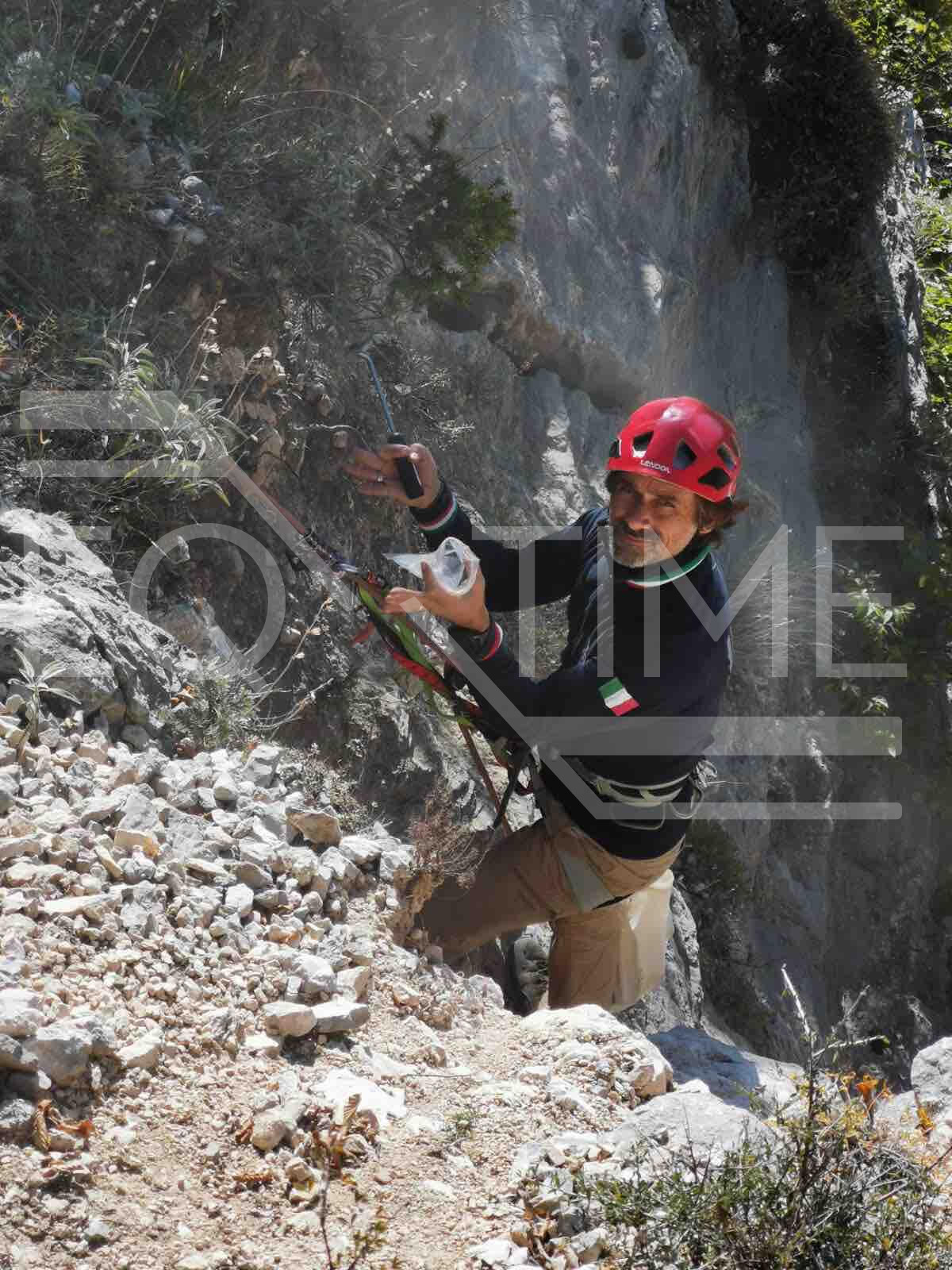
San Sebastiano Fault main scarp with cosmogenic sampling mark (vertical profile)
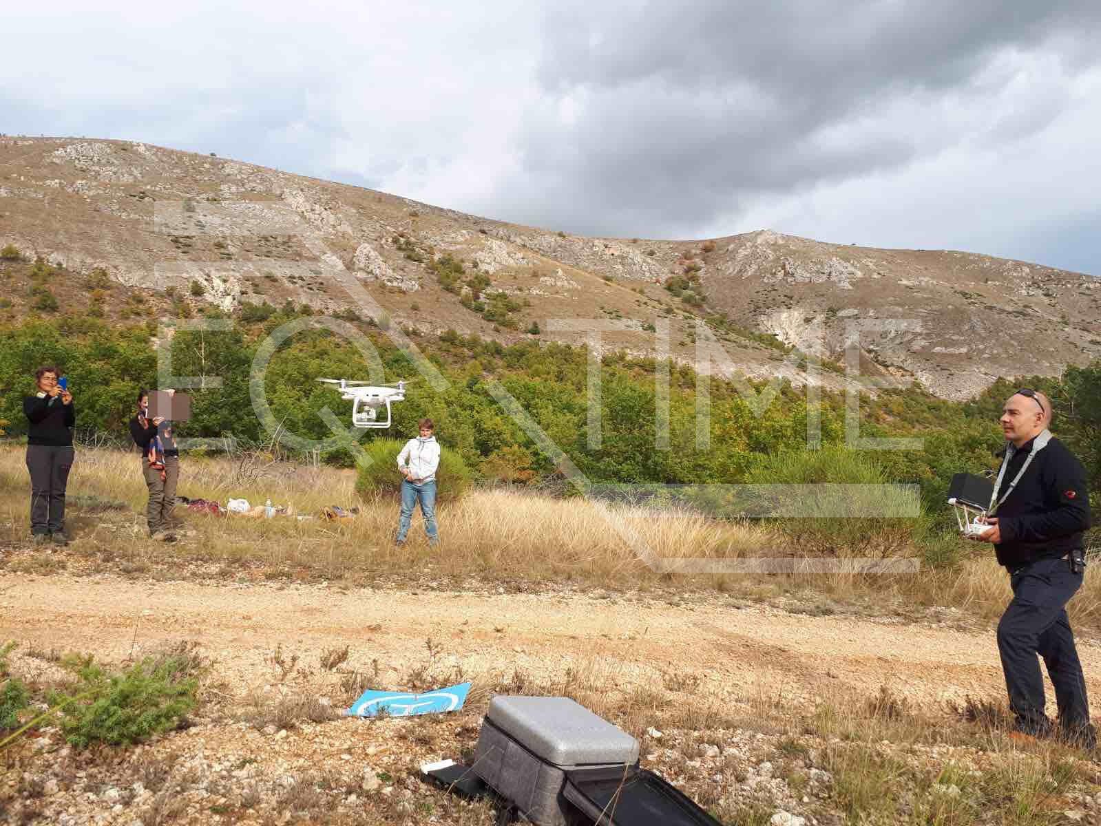
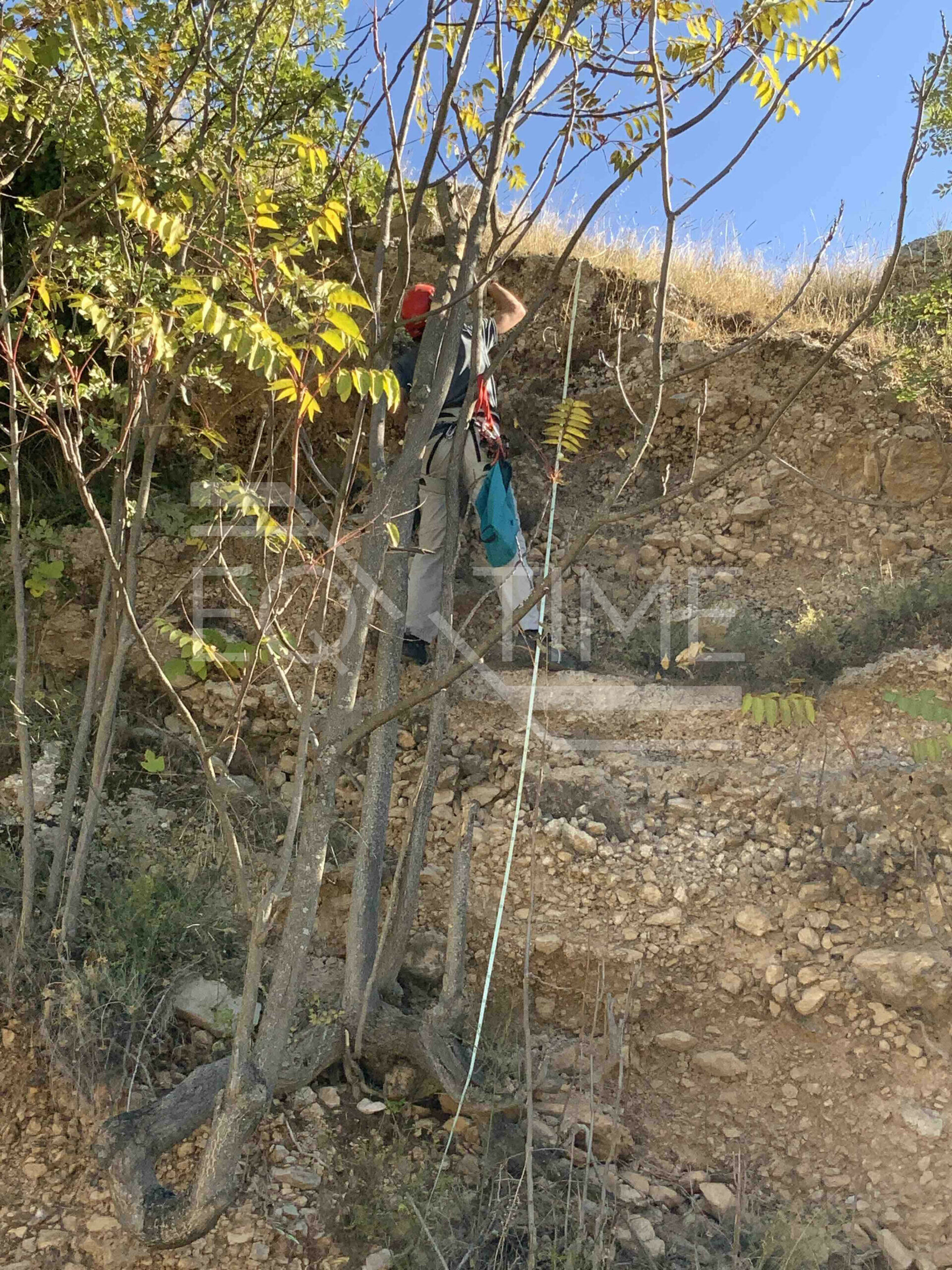
Acquiring photogrametric data on Roccapreturo Fault (2021)
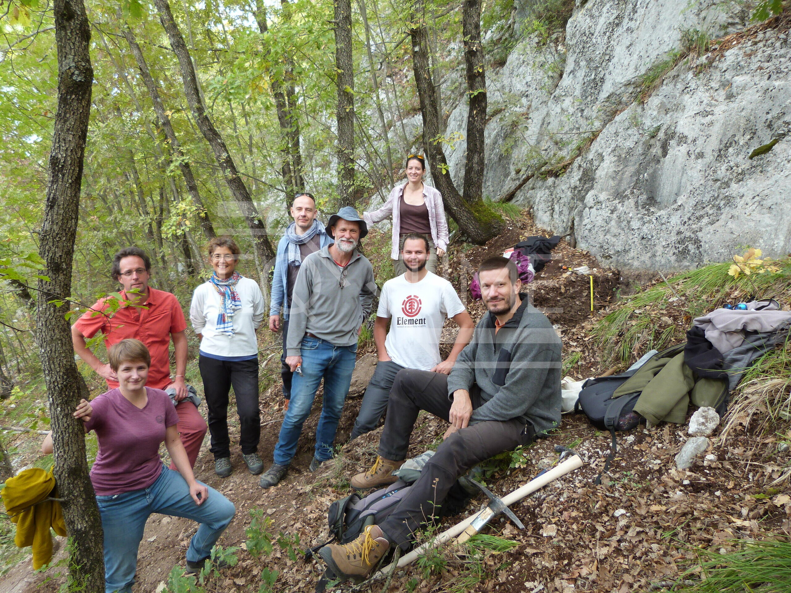
French teams from the CEREGE, IRSN and Géoscience Montpellier laboratories travelled to Italy in October to take samples and make observations in the field along with colleagues from INGV. They visited three important faults (Liri, Rocapeturo and San Sebastiano). The aim of the expedition was to map fault segments, identify sites to quantify the displacement along each fault and date it, and also identify sites to unravel the seismic history of the faults.
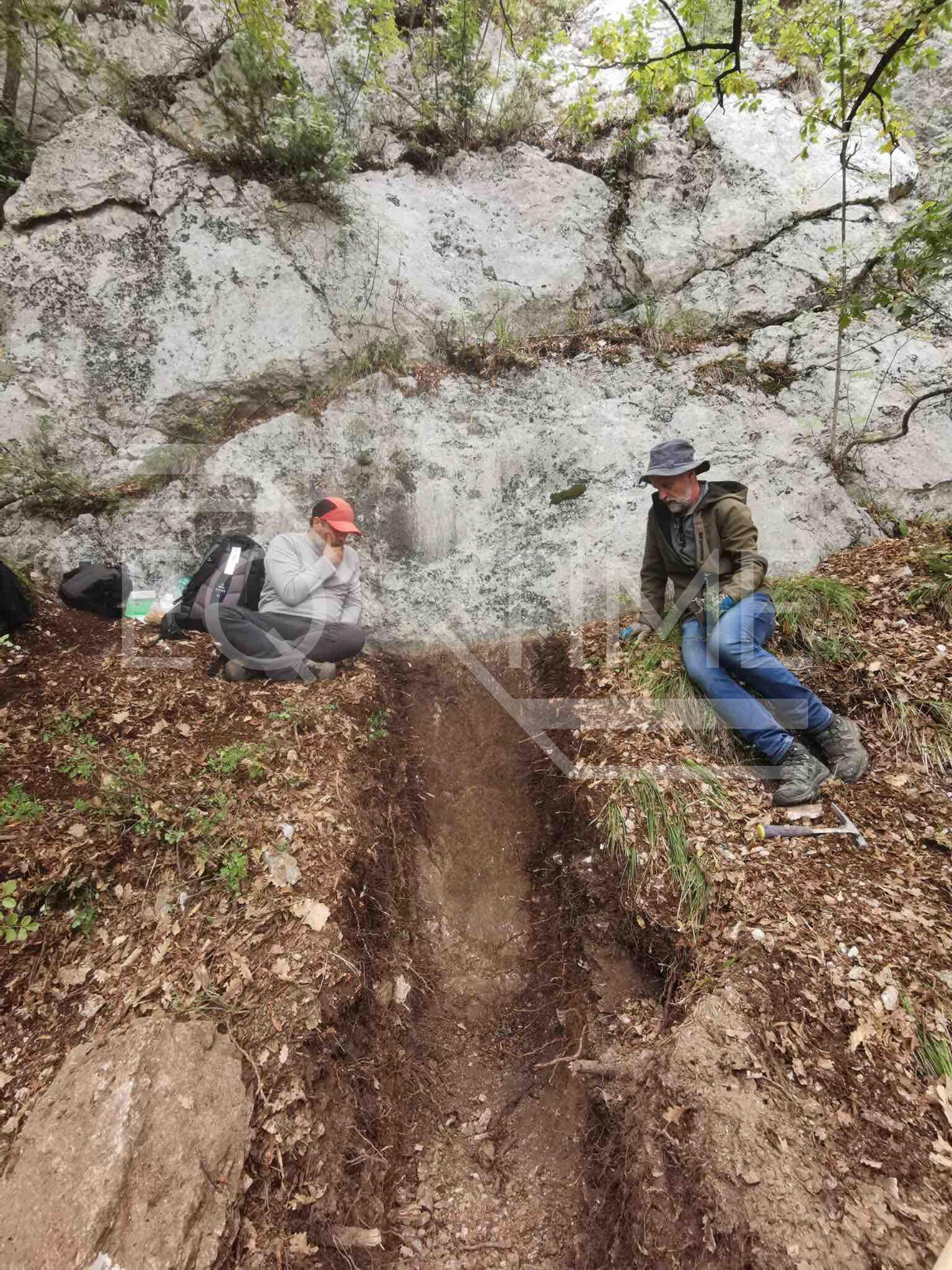
On the Liri Fault site, we have dig a small trench at the base of the fault to identify past earthquakes and collect samples to date those earthquakes with carbon 14. We have also study the morphology and the shape of the landforms to identify sites where the fault offsets recent deposits. We have collected on those deposits samples that will be dated with in situ produced cosmogenic nuclides (Chlorine 36) or carbon 14. So, paleoseismology (study of past earthquakes to reconstruct future seismicity) and geomorphology (study of the earth’s landforms) studies were carried out.
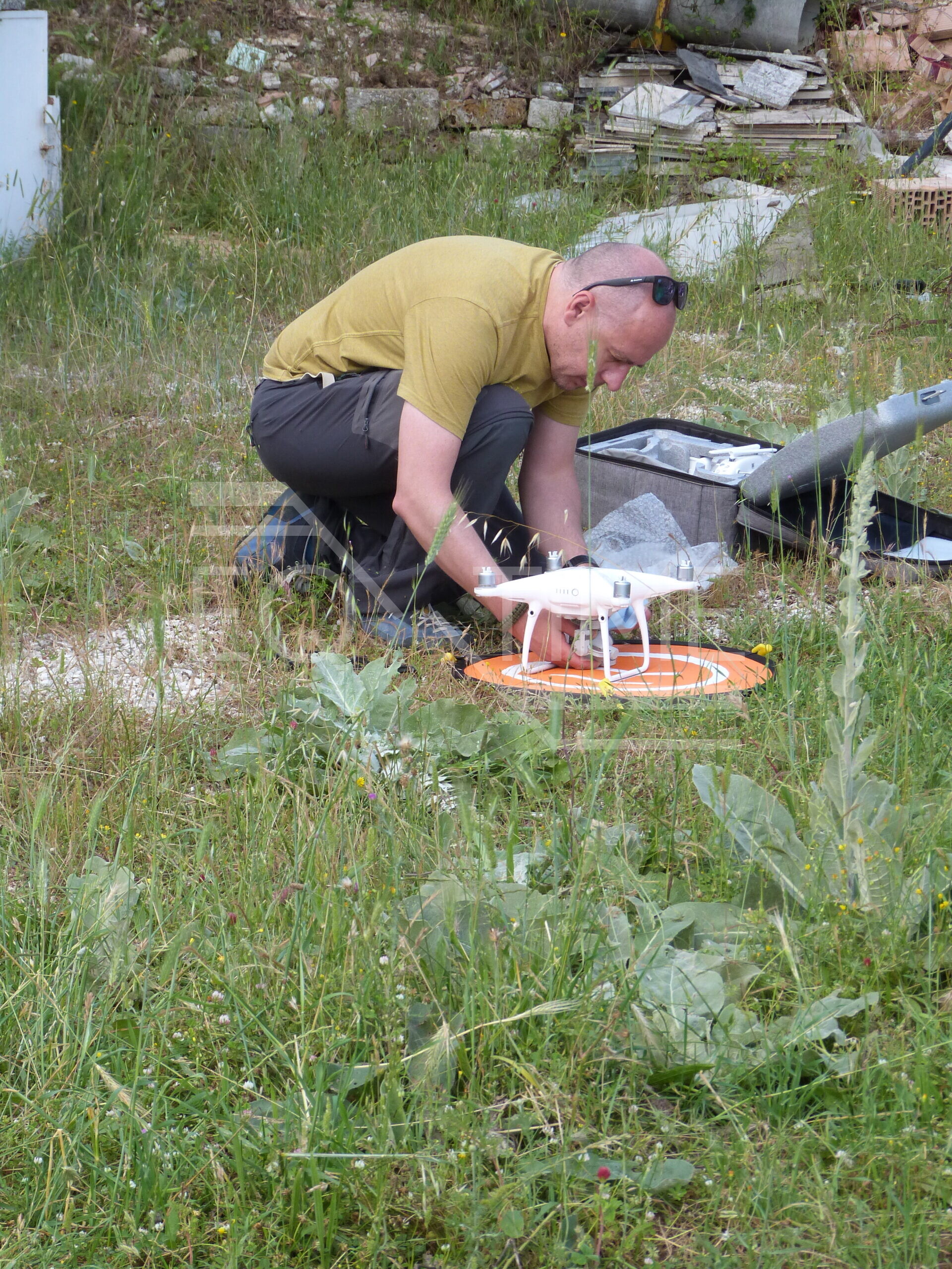
Terrain modelling is carried out using the views from the drones. The aim is to have accurate topographic maps and models to compare changes in the event of an earthquake. For this purpose, we acquired drone images to reconstruct with great accuracy the topography of several sites along these faults.
First trench on a small splay of the Liri Fault (2021)
Sampling for 14C radiocarbon dating in San Bartolomeo (2021)